Getting Around North Shields
North Shields is one of the best-connected towns on the coast, with its own Metro stations, a ferry across the Tyne and quick links to Newcastle. Our guide to getting there and getting around.
For a town its size, North Shields is unusually well connected. It has its own Metro stations, a passenger ferry across the Tyne, and quick road links to Newcastle and beyond, which is a big part of its appeal to commuters. Here is our guide to getting to North Shields and getting around once you are here.
By Metro
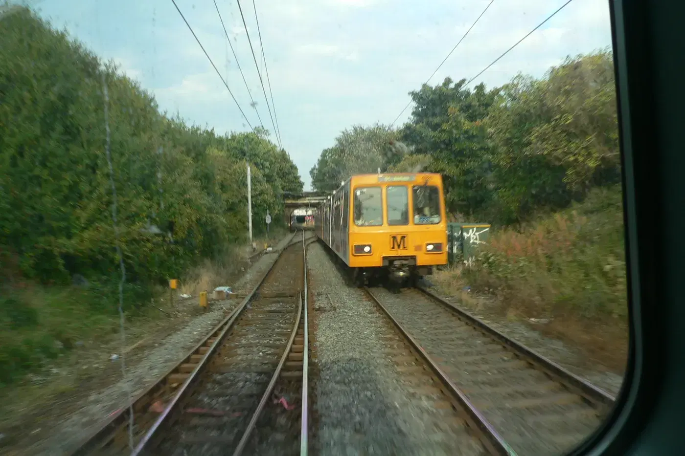
North Shields' greatest transport asset is the Tyne and Wear Metro. The town has its own North Shields station, next to the transport hub by the Beacon Centre in the town centre, and a second station at Percy Main to the west. Both are on the Yellow Line, which loops right around the coast, so from North Shields you can ride directly into central Newcastle in around twenty minutes, or the other way to Tynemouth, Whitley Bay and the coast. Trains are frequent throughout the day, which makes car-free commuting genuinely easy.
Across the river by ferry
The Shields Ferry is both a practical link and a small pleasure. Operated by Nexus, it is the last passenger ferry on the Tyne, crossing from the North Shields ferry landing to South Shields in about seven minutes, roughly every half hour, seven days a week. It connects into the Metro network on both banks, and it is the quickest way to reach South Tyneside without the long road trip round via the tunnel. Check the current Nexus timetable before you travel.
By road
By car, North Shields sits just off the A19, with the Tyne Tunnel carrying the road under the river to South Tyneside a short distance away. The A187 and A193 run west into Newcastle and Wallsend. The town centre and Fish Quay have car parks, but the medieval-scale streets around the Quay are busy at weekends, so allow a little time to park.
By bike
North Shields is well placed for cycling. National Cycle Network Route 72 runs along the riverside by the Fish Quay, and the North Tyneside Waggonways, traffic-free paths built on former colliery railways, link the town to the coast and inland. Together they make it easy to explore the wider area away from traffic.
On foot
The town itself is compact and walkable, but it is worth knowing that North Shields is built on two levels: the old riverside "Low Town" around the Fish Quay, and the Georgian "High Town" on the plateau above. The two are linked by steep banks and long flights of stairs, which are part of the character but worth bearing in mind if you have a pushchair or limited mobility. For the flat, the riverside path along the Quay is the easiest and most scenic walking in town.
Planning a visit
For what to do once you arrive, see our guides to things to do in North Shields and the best places to eat and drink on the Fish Quay, and parks, green spaces and walks for getting about on foot.
Never miss what’s on
Join the weekly North Shields.live digest — the best events, news and local tips, straight to your inbox. Free, one email a week.
What's On
Smash Hits Party Band at Cullercoats Crescent Club
8:30 PM · Cullercoats Crescent Club, 9 Victoria Crescent, Cullercoats, North Shields, NE30 4PN
Royal Quays Halloween Scare Wash
From 6:00 PM, slots every 20 minutes · Royal Quays Outlet car park, Coble Dene, North Shields, NE29 6DW
Hotel Motel: The Pitbull Universe Party
2:00 PM · Salt Market Social, 1 Liddell Street, Fish Quay, North Shields, NE30 1HE